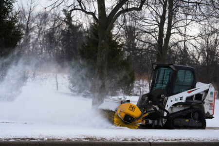
Threat of heavy snow persists Sunday into Monday; Biting cold to accompany storm
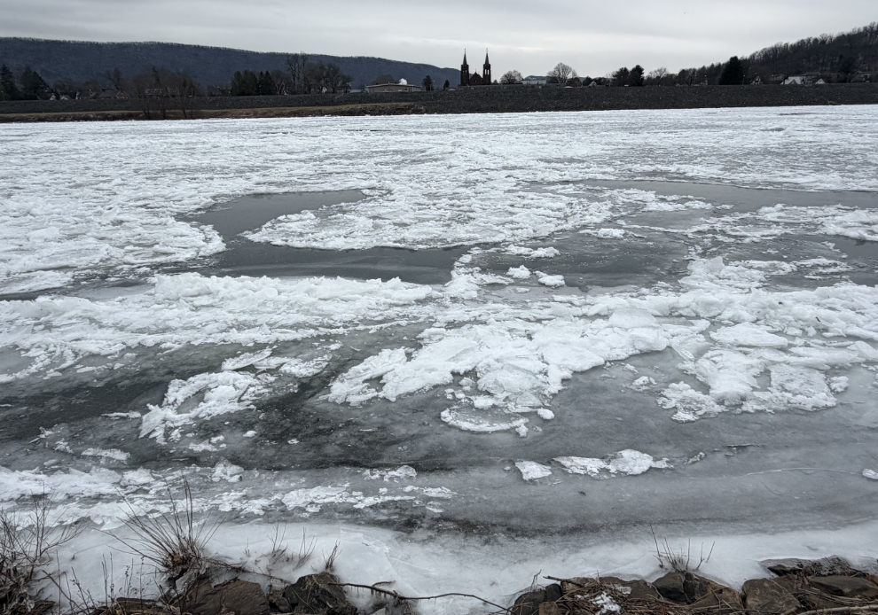
HUNTER SMITH/THE EXPRESS
A significant winter storm is taking aim at a broad swath of the United States, and our region is not looking to be spared.
While winter storms are notoriously difficult to forecast accurately due to the impacts of small deviations in track, temperature and moisture content, there is a consensus at this point that, barring something unexpected at the last minute, this will be a major storm.
The latest model runs as of Thursday afternoon are showing accumulations around 8-12 inches throughout Clinton, Centre and Lycoming counties, with higher amounts concentrated on the southern edges of our area.
For timing, look for snow to begin lightly Saturday night, with the bulk of the snow arriving Sunday afternoon and evening. Precipitation is not expected to stop fully until Monday evening, so, there will be a lot of long-duration impacts from this storm.
The GFS model, in particular, is showing an even higher patch located near Sugar Valley.
Whether that remains the case as the storm approaches is uncertain, however, there will be local variation with this storm. Despite the appearance on future radars and weather models showing a broad, long-duration storm, there will be bands within it which will see dramatically increased precipitation rates.
This will allow for heavier snowfall totals wherever those bands end up tracking.
The National Weather Service (NWS) in State College had already posted a winter storm watch and a cold weather advisory as of Thursday afternoon.
The watch notes that accumulations of six inches or more are possible, and, according to forecast discussions, will likely be upgraded to a warning as we get closer.
Meanwhile, the cold weather advisory cautions that wind chills as low as 15 degrees below zero will be expected Friday into Saturday.
Those bitter cold temperatures are expected to last through the snow storm. This represents a major challenge because it will render common pre-treatments ineffective — things like salt sprays which work by lowering the freezing point won’t function if the temperature is that far down, as opposed to the more typical storms where temperatures are closer to the freezing point.
As of Thursday afternoon, NWS is expecting a high of 18 on Sunday, with a low of 13 overnight. Monday will see the high rise slightly to 22, but the overnight low will drop steeply, down to -1. That is more taking into consideration the wind chill.
If you are in a location where your power is likely to go out due to the snow load on power lines, take this threat very seriously. Temperatures will get actively dangerous quickly without power. Likewise, take serious precautions to prevent your pipes from freezing or breaking.
Due to the arctic air causing these temperatures, humidity is expected to stay low throughout the storm — all of the moisture is being brought up from the south to fuel the storm.
This means that light, blowy snow is the expectation with this storm. That will make it good for shoveling, and may mitigate some of the power outage impacts — but it will also result in blowing and drifting snow which may pile up dramatically higher as snowbanks form.
If you’re hoping the storm will miss, a complete miss is unlikely. It is, however, still possible for the storm to track far enough to our south that the worst impacts will stay below us. If that ends up happening, we are still looking at somewhere between 3-6 inches of accumulation, as a ballpark estimate.
Looking ahead to the rest of next week, temperatures will stay very cold as the arctic air continues to command the skies. If the extended forecast is to be believed, we won’t see above-freezing temperatures again until nearly Valentine’s Day.
Local news
Threat of heavy snow persists Sunday into Monday; Biting cold to accompany storm
Take these steps to protect yourself from winter weather dangers

BASD parents disavow boundary changes; Urges school board to reconsider
Broadband expansion on hold as feds miss self-imposed deadline to review Pa.’s spending plan
Over $233K awarded in grant funds to county projects
LOCK HAVEN — Sen. Cris Dush (R-25) and Rep. Stephanie Borowicz (R-76) announced approximately $233,488 in ...