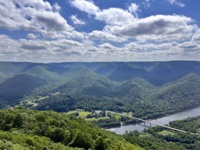
LHU student helps map water lines in Porter Township

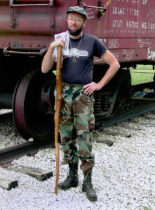
PHOTO PROVIDED Spencer Mill is shown in the field in Porter Township during his internship with Clinton County GIS.
Editor’s Note: This article was written by Spencer Mill, a LHU senior geology student who is interning at the Clinton County GIS Department this semester and shares what he is learning.
By SPENCER MILL
spencermill@ymail.com
LOCK HAVEN — Throughout this semester I have been interning at the Clinton County GIS office working with Jim Watson, Dan Ake, Bill Ake and Bill Blesh.
Geographic Information Systems(GIS) is computer software system that not many people know about, let alone have heard of. GIS is designed to capture, store, manipulate, analyze, manage, and present spatial or geographic data. Not many people are aware of it but it is used in a large number of industry’s such as government, law enforcement, construction and health and human services along with many others and is becoming increasingly more important for everyday applications.
LHU offers two GIS classes taught by my advisor Dr. Khalequzzaman, who has overseen my work during my internship. For my internship I have been working with the Porter Township Water Authority(PTWA) board director Bill Ake and PTWA Field Operator Bill Blesh to map the exact locations of PTWA water meters, valves and meter pits, along with pictures of each.
Using a Topcon GPS and transferring the points onto GIS, we will eventually create a map accessible to PTWA on Clinton County’s GIS website for future field operators to access and have an exact location of each meter, valve and meter pit. In Porter Township, which is located along Route 64 off the Lamar exit, water is supplied by a single reservoir. The point of the project is that PTWA has no written records of their water meters, valves and meter pits. Therefore creating a complete database of every location of the meters, pits and valves for future field operators that collect water meter readings every three months will make it much more easier for them to locate the meters, valves and pits. This is what I have accomplished thus far and in the remaining weeks leading up to graduation we plan to be out in the field collecting the coordinates of fire hydrants and blow-off valves to hopefully map the actual water lines of PTWA.
Community
Hobo King speaks at historical society
Around the Town
Good Day to Bob Patishnock, of Blanchard! Quote of the Day “Dream big and dare to fail.” — Norman ...
Calendar of Events
Monday, June 15 — Dunnstown Fire Company offers a Cash Bingo every Monday night at the fire station at 119 ...
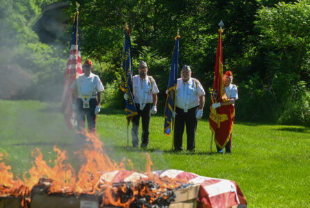
Local veterans hold flag retirement ceremonies
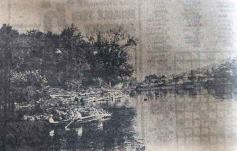
Old photo album: Boom Island, facing Lock Haven